
Diskit topographic map
Interactive map
Click on the map to display elevation.
About this map
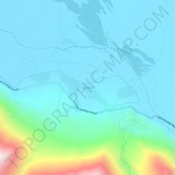
Name: Diskit topographic map, elevation, terrain.
Location: Diskit, Nubra, Leh District, Ladakh, Inde (34.53123 77.53065 34.57123 77.57065)
Average elevation: 3,257 m
Minimum elevation: 3,090 m
Maximum elevation: 4,118 m
Other topographic maps
Click on a map to view its topography, its elevation and its terrain.
Siachen Glacier
Siachen Glacier, Nubra, Leh District, Ladakh, Inde
Average elevation: 5,448 m