Geolocate

Palus topographic map

Click on the map to display elevation.

About this map

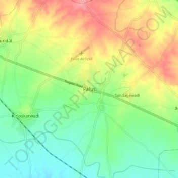
Name: Palus topographic map, elevation, terrain.

Location: Palus, Sangli District, Maharashtra, 416310, India (17.05551 74.41155 17.13551 74.49155)

Average elevation: 585 m

Minimum elevation: 549 m

Maximum elevation: 633 m

Gear up for your next adventure:

🧢Hiking Hat - Sun-protective and breathable hats for long treks
🧴First Aid Kit - Essential first aid supplies for outdoor emergencies
🌡️Emergency Mylar Blankets - Compact thermal protection for unexpected nights outdoors
🔦LED Headlamp - Hands-free lighting for early morning starts or late finishes
🥾Trekking Boots - Durable boots for long-distance trekking

As an Amazon Associate, this site earns from qualifying purchases at no extra cost to you.