Geolocate

Lake Bess topographic map

Click on the map to display elevation.

About this map

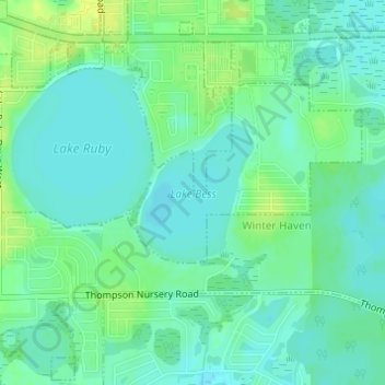
Name: Lake Bess topographic map, elevation, terrain.

Location: Lake Bess, Winter Haven, Polk County, Florida, United States (27.96274 -81.65775 27.97253 -81.64867)

Average elevation: 40 m

Minimum elevation: 33 m

Maximum elevation: 50 m

Other topographic maps

Click on a map to view its topography, its elevation and its terrain.

Gear up for your next adventure:

🧣Evaporative Cooling Towel - Beat the heat during intense summer climbs
❄️Traction Ice Cleats - Slip-on spikes for icy trails and winter hiking
🥾Waterproof Hiking Shoes - Durable shoes for wet and rugged trails
🧤Insulated Winter Gloves - Heavy-duty protection for sub-zero Canadian adventures
🥤Collapsible Travel Cup - Saves space and weight in your mess kit

As an Amazon Associate, this site earns from qualifying purchases at no extra cost to you.