Geolocate

Cumaral topographic map

Click on the map to display elevation.

About this map

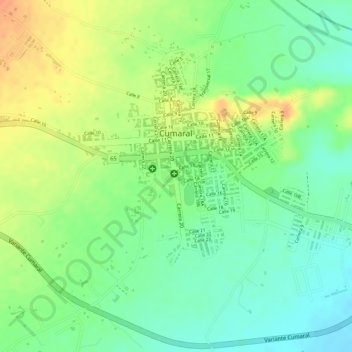
Name: Cumaral topographic map, elevation, terrain.

Location: Cumaral, Piedemonte, Meta, 501021, Colombia (4.25940 -73.49580 4.27629 -73.47658)

Average elevation: 407 m

Minimum elevation: 386 m

Maximum elevation: 431 m

Gear up for your next adventure:

🥾Trail Hiking Socks - Comfortable socks to prevent blisters and fatigue
🛏️Sleeping Bag - Warm and compact sleeping bags for outdoor camping
💡LED Headlamp - Hands-free illumination for night hiking and camping
Bushcraft Tarp - Versatile emergency shelter or gear protection
🥾Mountaineering Boots - Supportive boots for climbing and high-altitude hiking

As an Amazon Associate, this site earns from qualifying purchases at no extra cost to you.