Geolocate

Arle topographic map

Click on the map to display elevation.

About this map

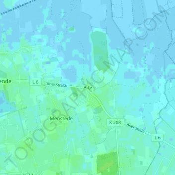
Name: Arle topographic map, elevation, terrain.

Location: Arle, Großheide, Landkreis Aurich, Lower Saxony, 26532, Germany (53.58943 7.37126 53.62943 7.41126)

Average elevation: 2 m

Minimum elevation: -3 m

Maximum elevation: 7 m

Gear up for your next adventure:

🧊Portable Cooler - Keep food and drinks cold during outdoor adventures
🦌Outdoor Trail Camera - Monitor wildlife activity near your favorite spots
🥾All-Terrain Hiking Boots - Versatile boots for varied hiking conditions
🥾Trail Running Boots - Durable shoes designed for trail running
🌬️Windproof Camp Stove - Efficient cooking even on exposed mountain peaks

As an Amazon Associate, this site earns from qualifying purchases at no extra cost to you.