Geolocate

Randolphville topographic map

Click on the map to display elevation.

About this map

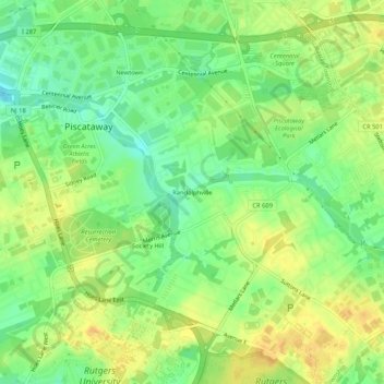
Name: Randolphville topographic map, elevation, terrain.

Location: Randolphville, Piscataway Township, Middlesex County, New Jersey, 08854, United States (40.51955 -74.47182 40.55955 -74.43182)

Average elevation: 26 m

Minimum elevation: 10 m

Maximum elevation: 39 m

Other topographic maps

Click on a map to view its topography, its elevation and its terrain.

Gear up for your next adventure:

🕶️Polarized Sunglasses - Reduces glare from snow and water at high elevations
🧥Waterproof Jacket - Lightweight rain jackets for hiking and outdoor activities
📷Outdoor Action Camera - Capture high-elevation views and rugged adventures
🥾Trekking Boots - Durable boots for long-distance trekking
🥾Waterproof Hiking Shoes - Durable shoes for wet and rugged trails

As an Amazon Associate, this site earns from qualifying purchases at no extra cost to you.