
Thank you for supporting this site ❤️
Make a donation
Make a donation
Gear up for your next adventure:
As an Amazon Associate, this site earns from qualifying purchases at no extra cost to you.
Llullimunllo topographic map
Click on the map to display elevation.
Thank you for supporting this site ❤️
Make a donation
Make a donation
Gear up for your next adventure:
As an Amazon Associate, this site earns from qualifying purchases at no extra cost to you.
About this map
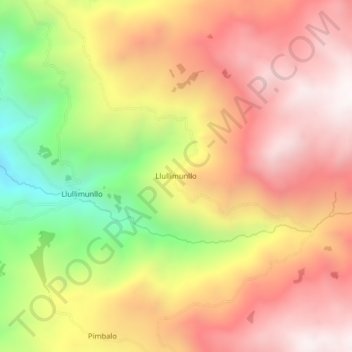
Name: Llullimunllo topographic map, elevation, terrain.
Location: Llullimunllo, Simiatug, Guaranda, Bolívar, Ecuador (-1.27744 -78.94866 -1.23744 -78.90866)
Average elevation: 3,681 m
Minimum elevation: 2,948 m
Maximum elevation: 4,209 m
Thank you for supporting this site ❤️
Make a donation
Make a donation
Gear up for your next adventure:
As an Amazon Associate, this site earns from qualifying purchases at no extra cost to you.