Geolocate

Mamadeo topographic map

Click on the map to display elevation.

About this map

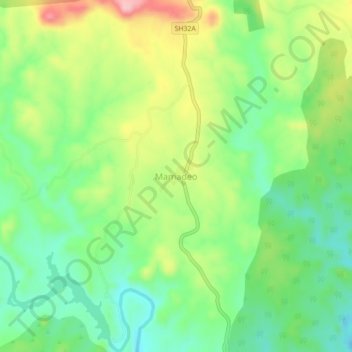
Name: Mamadeo topographic map, elevation, terrain.

Location: Mamadeo, Girwa Tehsil, Udaipur, Rajasthan, 313015, India (24.41931 73.85053 24.45931 73.89053)

Average elevation: 446 m

Minimum elevation: 377 m

Maximum elevation: 557 m

Other topographic maps

Click on a map to view its topography, its elevation and its terrain.

Pratap Park

India > Rajasthan > Girwa Tehsil > Udaipur

Average elevation: 608 m

Jungle Safari Park

India > Rajasthan > Girwa Tehsil > Udaipur

Average elevation: 620 m

Gear up for your next adventure:

🥾Trail Running Boots - Durable shoes designed for trail running
🛏️Sleeping Bag - Warm and compact sleeping bags for outdoor camping
🥾Hiking Boots - Sturdy boots providing ankle support and traction on rugged trails
Bushcraft Tarp - Versatile emergency shelter or gear protection
🧤Insulated Winter Gloves - Heavy-duty protection for sub-zero Canadian adventures

As an Amazon Associate, this site earns from qualifying purchases at no extra cost to you.