Geolocate

El Sahuco topographic map

Click on the map to display elevation.

About this map

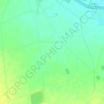
Name: El Sahuco topographic map, elevation, terrain.

Location: El Sahuco, La Herrera, Albacete, Castilla-La Mancha, España (38.93787 -2.13200 38.95787 -2.11200)

Average elevation: 718 m

Minimum elevation: 709 m

Maximum elevation: 728 m

Gear up for your next adventure:

🔦LED Headtorch - Bright and durable light for night activities
🕯️Camping Lantern - Illuminates your entire campsite with high-efficiency LEDs
🥾Waterproof Hiking Boots - Boots keeping your feet dry in wet conditions
🧣Evaporative Cooling Towel - Beat the heat during intense summer climbs
🧥Waterproof Jacket - Lightweight rain jackets for hiking and outdoor activities

As an Amazon Associate, this site earns from qualifying purchases at no extra cost to you.