Geolocate

Cáceres topographic map

Click on the map to display elevation.

About this map

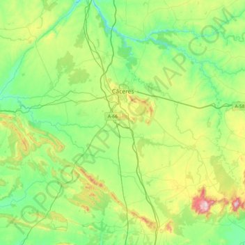
Name: Cáceres topographic map, elevation, terrain.

Location: Cáceres, Extremadura, Spain (39.15526 -6.80207 39.64883 -6.07874)

Average elevation: 389 m

Minimum elevation: 202 m

Maximum elevation: 981 m

Gear up for your next adventure:

🧢Hiking Hat - Sun-protective and breathable hats for long treks
🥾Trail Hiking Boots - Supportive boots for rough trails
💧Hydration Bladder - Hands-free hydration solution for long treks
🧊Insulated Water Bottle - Keeps drinks cold in summer and prevents freezing in winter
🧦Merino Wool Socks - Moisture-wicking comfort for long-distance hiking

As an Amazon Associate, this site earns from qualifying purchases at no extra cost to you.