
Make a donation
Gear up for your next adventure:
As an Amazon Associate, this site earns from qualifying purchases at no extra cost to you.
Anakapalle topographic map
Click on the map to display elevation.
Make a donation
Gear up for your next adventure:
As an Amazon Associate, this site earns from qualifying purchases at no extra cost to you.
Anakapalle
Anakapalli is located at 17°41′29″N 83°00′14″E / 17.6913°N 83.0039°E / 17.6913; 83.0039, on the banks of River Sarada and at an altitude of 29 m (95 ft). It is spread over an area of 23.28 km2 (8.99 sq mi).
Make a donation
Gear up for your next adventure:
As an Amazon Associate, this site earns from qualifying purchases at no extra cost to you.
About this map
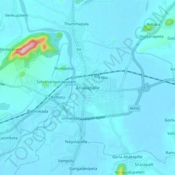
Name: Anakapalle topographic map, elevation, terrain.
Location: Anakapalle, Anakapalli, Andhra Pradesh, 531001, India (17.64897 82.96348 17.72897 83.04348)
Average elevation: 35 m
Minimum elevation: 20 m
Maximum elevation: 318 m
Make a donation
Gear up for your next adventure:
As an Amazon Associate, this site earns from qualifying purchases at no extra cost to you.