
Sparta topographic map
Interactive map
Click on the map to display elevation.
About this map
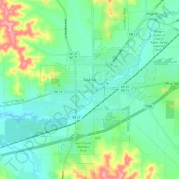
Name: Sparta topographic map, elevation, terrain.
Location: Sparta, Monroe County, Wisconsin, USA (43.91359 -90.86070 43.96648 -90.76008)
Average elevation: 256 m
Minimum elevation: 226 m
Maximum elevation: 337 m