
Crescent City topographic map
Click on the map to display elevation.
Crescent City
The topography of the sea floor surrounding Crescent City has the effect of focusing tsunamis. According to researchers at Humboldt State University and the University of Southern California, the city experienced tsunami conditions 31 times between the years 1933 and 2008. Although many of these incidents were barely perceptible, eleven events included wave measurements exceeding one meter, four events caused damage, and one event in particular is commonly cited as "the largest and most destructive recorded tsunami to strike the United States Pacific Coast."
About this map
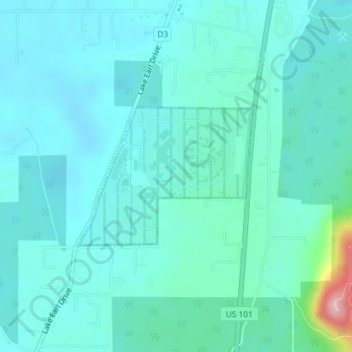
Name: Crescent City topographic map, elevation, terrain.
Location: Crescent City, Del Norte County, California, United States (41.84782 -124.16017 41.85846 -124.14190)
Average elevation: 31 m
Minimum elevation: 2 m
Maximum elevation: 203 m
Other topographic maps
Click on a map to view its topography, its elevation and its terrain.
Smith River National Recreation Area
United States > California > Del Norte County
Average elevation: 720 m
Klamath Glen
United States > California > Del Norte County
Klamath Glen is an unincorporated community in Del Norte County, California. It is located on the Klamath River 5 miles (8 km) from its mouth, at an elevation of 46 feet (14 m).
Average elevation: 97 m