
Thank you for supporting this site ❤️
Make a donation
Make a donation
Gear up for your next adventure:
As an Amazon Associate, this site earns from qualifying purchases at no extra cost to you.
Tibong-tibong topographic map
Click on the map to display elevation.
Thank you for supporting this site ❤️
Make a donation
Make a donation
Gear up for your next adventure:
As an Amazon Associate, this site earns from qualifying purchases at no extra cost to you.
About this map
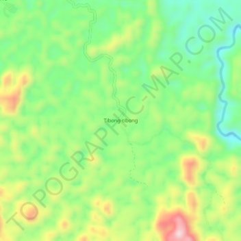
Name: Tibong-tibong topographic map, elevation, terrain.
Location: Tibong-tibong, Keytodac, Sultan Kudarat, Philippines (6.60210 124.23275 6.64210 124.27275)
Average elevation: 728 m
Minimum elevation: 593 m
Maximum elevation: 940 m
Thank you for supporting this site ❤️
Make a donation
Make a donation
Gear up for your next adventure:
As an Amazon Associate, this site earns from qualifying purchases at no extra cost to you.