
La Perla topographic map
Interactive map
Click on the map to display elevation.
About this map
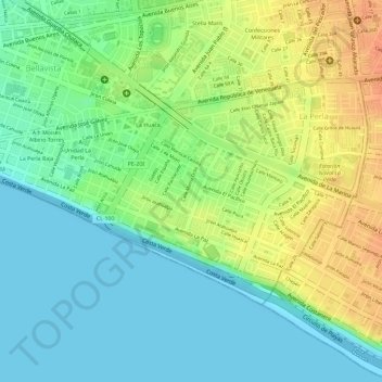
Name: La Perla topographic map, elevation, terrain.
Location: La Perla, Callao, Perú (-12.07993 -77.13291 -12.06312 -77.10396)
Average elevation: 19 m
Minimum elevation: 0 m
Maximum elevation: 45 m