
Villeroux topographic map
Interactive map
Click on the map to display elevation.
About this map
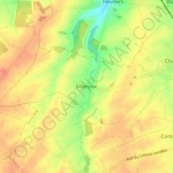
Name: Villeroux topographic map, elevation, terrain.
Location: Villeroux, Nivelles, Brabant wallon, Wallonie, 1450, Belgique (50.58233 4.58651 50.62233 4.62651)
Average elevation: 141 m
Minimum elevation: 98 m
Maximum elevation: 173 m