
Riosucio topographic map
Interactive map
Click on the map to display elevation.
About this map
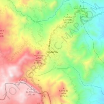
Name: Riosucio topographic map, elevation, terrain.
Location: Riosucio, Alto Occidente, Caldas, Colombie (5.38095 -75.74306 5.46095 -75.66306)
Average elevation: 1,743 m
Minimum elevation: 1,151 m
Maximum elevation: 2,473 m