
Sipacate topographic map
Interactive map
Click on the map to display elevation.
About this map
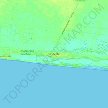
Name: Sipacate topographic map, elevation, terrain.
Location: Sipacate, Escuintla, Guatemala (13.89019 -91.18723 13.97019 -91.10723)
Average elevation: 4 m
Minimum elevation: 0 m
Maximum elevation: 12 m
Other topographic maps
Click on a map to view its topography, its elevation and its terrain.
Río Acomé
Guatemala > Escuintla > Sipacate > El Paredón
Río Acomé, El Paredón, Sipacate, Escuintla, Guatemala
Average elevation: 6 m