
Christmas Island topographic map
Interactive map
Click on the map to display elevation.
About this map
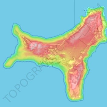
Name: Christmas Island topographic map, elevation, terrain.
Location: Christmas Island, Île Christmas, 6798, Australie (-10.57008 105.53344 -10.41230 105.71302)
Average elevation: 69 m
Minimum elevation: 0 m
Maximum elevation: 363 m