
Río Salado topographic map
Interactive map
Click on the map to display elevation.
About this map
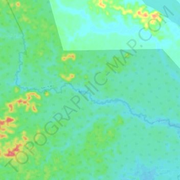
Name: Río Salado topographic map, elevation, terrain.
Location: Río Salado, Aguarico, Orellana, Ekuador (-0.97593 -75.53518 -0.90795 -75.42313)
Average elevation: 188 m
Minimum elevation: 172 m
Maximum elevation: 242 m
Other topographic maps
Click on a map to view its topography, its elevation and its terrain.
Jumandy
Ekuador > Orellana > San José de Payamino > Jumandy
Jumandy, San José de Payamino, Loreto, Orellana, Ekuador
Average elevation: 299 m