
Mamatlı topographic map
Interactive map
Click on the map to display elevation.
About this map
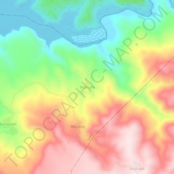
Name: Mamatlı topographic map, elevation, terrain.
Location: Mamatlı, Salihli, Manisa, Ägäisregion, Türkei (38.65532 28.42905 38.69532 28.46905)
Average elevation: 439 m
Minimum elevation: 228 m
Maximum elevation: 667 m