Geolocate

Gunung Gede topographic map

Click on the map to display elevation.

About this map

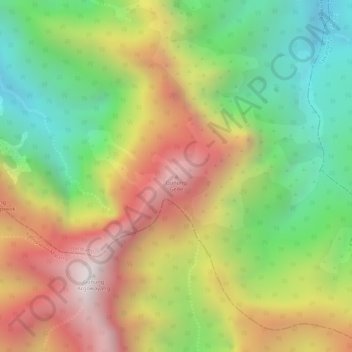
Name: Gunung Gede topographic map, elevation, terrain.

Location: Gunung Gede, Jombang, East Java, Java, Indonesia (-7.76535 112.43655 -7.76525 112.43665)

Average elevation: 1,667 m

Minimum elevation: 1,194 m

Maximum elevation: 2,158 m

Gear up for your next adventure:

🧥Thermal Layer - Insulating layer for cold outdoor conditions
🔦LED Headlamp - Hands-free lighting for early morning starts or late finishes
🚲MTB Frame Bag - Carry tools and maps directly on your bicycle frame
🧦Merino Wool Socks - Moisture-wicking comfort for long-distance hiking
🧴Outdoor Sunscreen - High SPF protection for high-altitude UV exposure

As an Amazon Associate, this site earns from qualifying purchases at no extra cost to you.