
Nesari topographic map
Click on the map to display elevation.
About this map
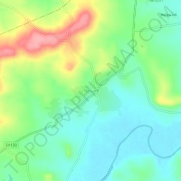
Name: Nesari topographic map, elevation, terrain.
Location: Nesari, Gadhinglaj, Kolhapur, Maharashtra, 416504, India (16.03801 74.30322 16.07801 74.34322)
Average elevation: 730 m
Minimum elevation: 692 m
Maximum elevation: 806 m