
Huarango topographic map
Interactive map
Click on the map to display elevation.
About this map
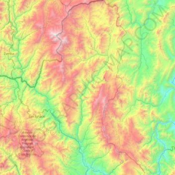
Name: Huarango topographic map, elevation, terrain.
Location: Huarango, San Ignacio, Cajamarca, Perú (-5.40924 -78.82354 -4.62395 -78.58981)
Average elevation: 1,376 m
Minimum elevation: 285 m
Maximum elevation: 3,180 m