
58120 topographic map
Click on the map to display elevation.
About this map
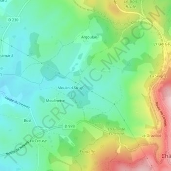
Name: 58120 topographic map, elevation, terrain.
Average elevation: 391 m
Minimum elevation: 320 m
Maximum elevation: 533 m
Other topographic maps
Click on a map to view its topography, its elevation and its terrain.
La Vallée de Cours
France > Bourgogne-Franche-Comté > Nièvre > Château-Chinon (Campagne)
Average elevation: 479 m
Coujard
France > Bourgogne-Franche-Comté > Nièvre > Château-Chinon (Campagne)
Average elevation: 493 m
Salorge
France > Bourgogne-Franche-Comté > Nièvre > Château-Chinon (Campagne)
Average elevation: 478 m