Geolocate

Narela topographic map

Click on the map to display elevation.

About this map

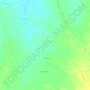
Name: Narela topographic map, elevation, terrain.

Location: Narela, Sehore Tahsil, Sehore District, Madhya Pradesh, India (23.27971 77.13628 23.29598 77.16270)

Average elevation: 494 m

Minimum elevation: 482 m

Maximum elevation: 507 m

Other topographic maps

Click on a map to view its topography, its elevation and its terrain.

Badnagar

India > Madhya Pradesh > Sehore Tahsil

Average elevation: 535 m

Gear up for your next adventure:

🥾Mountain Trail Shoes - High-traction shoes for mountain trails
🧭Orienteering Kit - Tools for map reading and navigation in the wild
🩹Compact First Aid Kit - Pre-packed essentials for common trail injuries
💡Solar Camping Lamp - Eco-friendly lighting for campsites
🛶Canoe Life Vest - Safety vest for water sports

As an Amazon Associate, this site earns from qualifying purchases at no extra cost to you.