
Paveh County topographic map
Interactive map
Click on the map to display elevation.
About this map
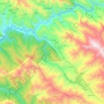
Name: Paveh County topographic map, elevation, terrain.
Location: هولی, بخش مرکزی, Paveh County, Kermanshah Province, Iran (35.01383 46.17305 35.15523 46.40503)
Average elevation: 1,566 m
Minimum elevation: 601 m
Maximum elevation: 3,059 m