
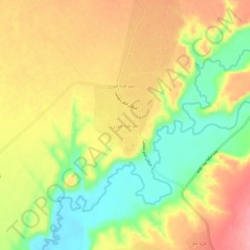
تمر قره قوزی topographic map
Interactive map
Click on the map to display elevation.
About this map
Name: تمر قره قوزی topographic map, elevation, terrain.
Location: تمر قره قوزی, بخش مرکزی, شهرستان کلاله, Golestan, Iran (37.47350 55.47863 37.51350 55.51863)
Average elevation: 158 m
Minimum elevation: 100 m
Maximum elevation: 209 m