
上冯村 topographic map
Interactive map
Click on the map to display elevation.
About this map
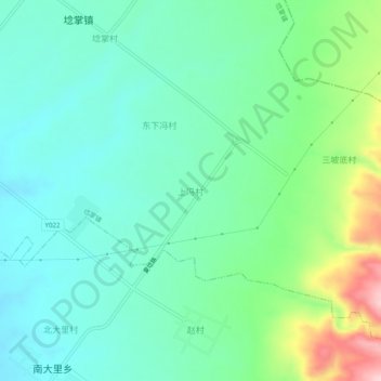
Name: 上冯村 topographic map, elevation, terrain.
Location: 上冯村, 埝掌镇, 夏县, 运城市, 山西省, 044400, 中国 (35.22611 111.28682 35.26611 111.32682)
Average elevation: 510 m
Minimum elevation: 452 m
Maximum elevation: 676 m