
Las Palmas topographic map
Interactive map
Click on the map to display elevation.
About this map
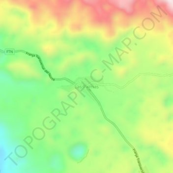
Name: Las Palmas topographic map, elevation, terrain.
Location: Las Palmas, Nentón, Huehuetenango, Guatemala (15.99011 -91.67416 16.03011 -91.63416)
Average elevation: 1,436 m
Minimum elevation: 1,172 m
Maximum elevation: 1,777 m