
Maury topographic map
Interactive map
Click on the map to display elevation.
About this map
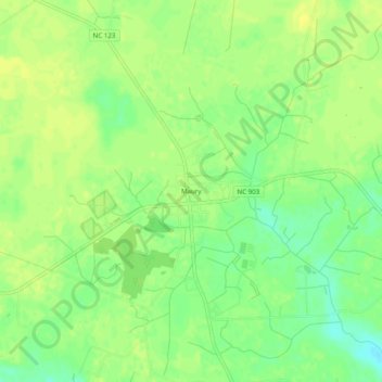
Name: Maury topographic map, elevation, terrain.
Location: Maury, Greene County, North Carolina, 28554, United States (35.46211 -77.60608 35.50211 -77.56608)
Average elevation: 21 m
Minimum elevation: 9 m
Maximum elevation: 27 m
Other topographic maps
Click on a map to view its topography, its elevation and its terrain.