
Make a donation
Gear up for your next adventure:
As an Amazon Associate, this site earns from qualifying purchases at no extra cost to you.
Grotta del Gelo topographic map
Click on the map to display elevation.
Make a donation
Gear up for your next adventure:
As an Amazon Associate, this site earns from qualifying purchases at no extra cost to you.
Grotta del Gelo
Ubicata a 2030 metri d'altitudine, la grotta si trova nel territorio del comune di Randazzo. La sua apertura e forma conica rappresenta dai primi anni settanta una meta per escursionionisti e turisti nonché esperti e scienziati. Precedentemente veniva usata dai pastori per abbeverare le loro greggi.
Make a donation
Gear up for your next adventure:
As an Amazon Associate, this site earns from qualifying purchases at no extra cost to you.
About this map
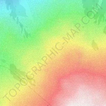
Name: Grotta del Gelo topographic map, elevation, terrain.
Average elevation: 1,989 m
Minimum elevation: 1,577 m
Maximum elevation: 2,396 m
Make a donation
Gear up for your next adventure:
As an Amazon Associate, this site earns from qualifying purchases at no extra cost to you.
Other topographic maps
Click on a map to view its topography, its elevation and its terrain.
Parco Polifunzionale Demanio Forestale Sciarone
Italia > Sicilia > Catania > Randazzo
Average elevation: 846 m