
Linkhout topographic map
Interactive map
Click on the map to display elevation.
About this map
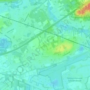
Name: Linkhout topographic map, elevation, terrain.
Location: Linkhout, Lummen, Hasselt, Limburg, België (50.95612 5.10844 50.98450 5.16423)
Average elevation: 24 m
Minimum elevation: 13 m
Maximum elevation: 61 m