Geolocate

Quebrada Negra topographic map

Click on the map to display elevation.

About this map

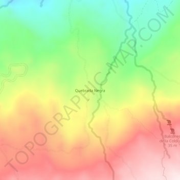
Name: Quebrada Negra topographic map, elevation, terrain.

Location: Quebrada Negra, Puente Nacional, Vélez, Santander, Colombia (5.78285 -73.67968 5.82285 -73.63968)

Average elevation: 2,262 m

Minimum elevation: 1,977 m

Maximum elevation: 2,549 m

Gear up for your next adventure:

🧰Emergency Multi-Tool - Compact multi-tool for outdoor survival
🥾Mountaineering Boots - Supportive boots for climbing and high-altitude hiking
🥾Approach Shoes - Shoes designed for climbing approaches and rugged trails
Tent Footprint - Protect tent floor and increase durability
🚲Handlebar Phone Mount - View topographic-map.com live while cycling

As an Amazon Associate, this site earns from qualifying purchases at no extra cost to you.