Geolocate

matehr topographic map

Click on the map to display elevation.

About this map

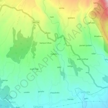
Name: matehr topographic map, elevation, terrain.

Location: matehr, Palampur, Kangra, Himachal Pradesh, 176094, India (32.06648 76.55441 32.10648 76.59441)

Average elevation: 1,208 m

Minimum elevation: 1,064 m

Maximum elevation: 1,512 m

Gear up for your next adventure:

🦯Trekking Poles - Reduced impact on joints for steep topographic climbs
📷Outdoor Action Camera - Capture high-elevation views and rugged adventures
🛌Insulated Sleeping Pad - Critical thermal barrier between you and the cold ground
🧤Rechargeable Heated Gloves - Extreme warmth for Canadian winter expeditions
Camping Coffee Maker - Brew fresh coffee anywhere on the topographic map

As an Amazon Associate, this site earns from qualifying purchases at no extra cost to you.