Geolocate

Samedan topographic map

Click on the map to display elevation.

About this map

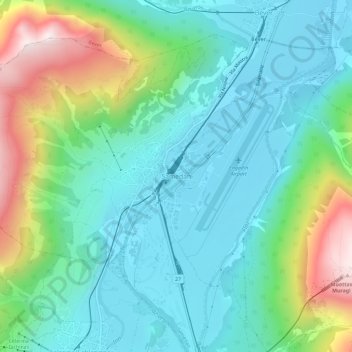
Name: Samedan topographic map, elevation, terrain.

Location: Samedan, Maloja, Grisons, 7503, Switzerland (46.51324 9.85459 46.55324 9.89459)

Average elevation: 1,901 m

Minimum elevation: 1,693 m

Maximum elevation: 2,491 m

Gear up for your next adventure:

🧣Merino Neck Gaiter - Protects against wind, sun, and cold at high altitudes
🛶Kayak Accessories - Essential gear for safe and fun kayaking adventures
🚲Bike Repair Kit - Essential tools for on-trail mechanical issues
🧣Evaporative Cooling Towel - Beat the heat during intense summer climbs
🥾Durable Hiking Shoes - Long-lasting shoes for frequent hiking

As an Amazon Associate, this site earns from qualifying purchases at no extra cost to you.