Geolocate

Tomina topographic map

Click on the map to display elevation.

About this map

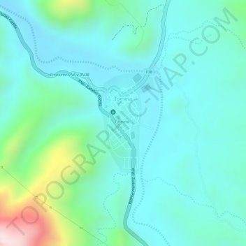
Name: Tomina topographic map, elevation, terrain.

Location: Tomina, Provincia Tomina, Chuquisaca, Bolivia (-19.19345 -64.46442 -19.18228 -64.45792)

Average elevation: 2,110 m

Minimum elevation: 2,013 m

Maximum elevation: 2,452 m

Gear up for your next adventure:

🧥Softshell Hiking Jacket - The perfect balance of wind protection and breathability
🥾Trail Running Boots - Durable shoes designed for trail running
🚲Heavy Duty Bike Lock - Secure your bike at the trailhead or during stops
🥾Trekking Poles - Adjustable trekking poles to reduce knee stress and improve stability
🦶Hiking Shoe Insoles - Added support for high arches and long days on feet

As an Amazon Associate, this site earns from qualifying purchases at no extra cost to you.