Geolocate

Bojonggede topographic map

Click on the map to display elevation.

About this map

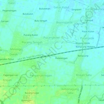
Name: Bojonggede topographic map, elevation, terrain.

Location: Bojonggede, Kendal, Central Java, 51357, Indonesia (-6.98670 110.15933 -6.94670 110.19933)

Average elevation: 11 m

Minimum elevation: 5 m

Maximum elevation: 20 m

Gear up for your next adventure:

🥾Lightweight Hiking Shoes - Comfortable shoes for day hikes
Lightweight Backpacking Tent - Compact tent for efficient hiking trips
🛌Down Sleeping Bag - Superior warmth-to-weight ratio for cold nights
🧼Biodegradable Camp Soap - Environmentally friendly cleaning for gear and body
🥾Light Hiking Boots - Lightweight and comfortable boots for day hikes

As an Amazon Associate, this site earns from qualifying purchases at no extra cost to you.