Geolocate

Icó topographic map

Click on the map to display elevation.

About this map
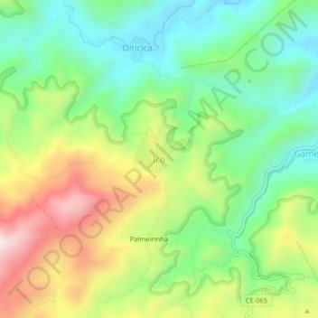
Name: Icó topographic map, elevation, terrain.

Location: Icó, Pacoti, Região Geográfica Imediata de Redenção-Acarape, Região Geográfica Intermediária de Fortaleza, Ceará, Região Nordeste, Brasil (-4.20195 -38.93824 -4.16195 -38.89824)

Average elevation: 636 m

Minimum elevation: 411 m

Maximum elevation: 995 m

Gear up for your next adventure:

🥘Camping Cookware Set - Compact nesting pots and pans for trail cooking
🔦LED Headlamp - Hands-free lighting for early morning starts or late finishes
🛌Insulated Sleeping Pad - Critical thermal barrier between you and the cold ground
🥾Waterproof Hiking Boots - Boots keeping your feet dry in wet conditions
🧭GPS Outdoor Watch - Smart watch for navigation and fitness tracking in nature

As an Amazon Associate, this site earns from qualifying purchases at no extra cost to you.