Geolocate

Katsushika topographic map

Click on the map to display elevation.

About this map

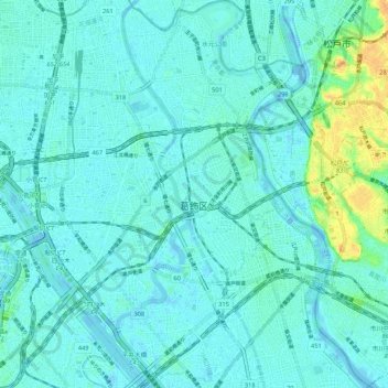
Name: Katsushika topographic map, elevation, terrain.

Location: Katsushika, Tokyo, Japan (35.71087 139.81324 35.79743 139.89456)

Average elevation: 6 m

Minimum elevation: -8 m

Maximum elevation: 34 m

Gear up for your next adventure:

🛶Waterproof Dry Bags - Keep electronics and clothes dry during river crossings
🥾Waterproof Trail Shoes - Shoes designed to handle wet terrain
🛶Kayak Accessories - Essential gear for safe and fun kayaking adventures
🔭Compact Monocular - One-handed bird watching and trail spotting
🧢Hiking Sun Hat - Wide-brimmed protection for exposed mountain ridges

As an Amazon Associate, this site earns from qualifying purchases at no extra cost to you.