
Coler topographic map
Click on the map to display elevation.
About this map
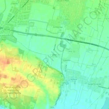
Name: Coler topographic map, elevation, terrain.
Location: Coler, Flero, Brescia, Lombardy, 25131, Italy (45.44999 10.14827 45.48999 10.18827)
Average elevation: 105 m
Minimum elevation: 90 m
Maximum elevation: 127 m