Geolocate

Hutto topographic map

Click on the map to display elevation.

About this map

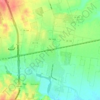
Name: Hutto topographic map, elevation, terrain.

Location: Hutto, Williamson County, Texas, 78634, United States (30.50276 -97.58689 30.58276 -97.50689)

Average elevation: 202 m

Minimum elevation: 177 m

Maximum elevation: 245 m

Gear up for your next adventure:

🧭Orienteering Kit - Tools for map reading and navigation in the wild
🧢Hiking Sun Hat - Wide-brimmed protection for exposed mountain ridges
🥾Trail Running Shoes - Lightweight and durable shoes for trail running
🔦LED Headlamp - Hands-free lighting for early morning starts or late finishes
Tent Footprint - Protect tent floor and increase durability

As an Amazon Associate, this site earns from qualifying purchases at no extra cost to you.