Geolocate

Killearn topographic map

Click on the map to display elevation.

About this map

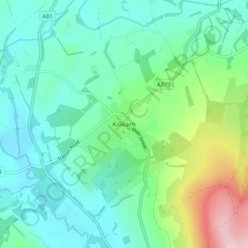
Name: Killearn topographic map, elevation, terrain.

Location: Killearn, Stirling, Scotland, G63 9NH, United Kingdom (56.02401 -4.39273 56.06401 -4.35273)

Average elevation: 82 m

Minimum elevation: 10 m

Maximum elevation: 311 m

Gear up for your next adventure:

🪜Heavy Duty Carabiners - Multi-use clips for securing gear to your backpack
🦶Hiking Shoe Insoles - Added support for high arches and long days on feet
🧣Evaporative Cooling Towel - Beat the heat during intense summer climbs
🧰Multitool Knife - Compact and versatile tool for outdoor use
🥾Hiking Gaiters - Protect legs and shoes from mud, snow, and debris

As an Amazon Associate, this site earns from qualifying purchases at no extra cost to you.