Geolocate

Sumera topographic map

Click on the map to display elevation.

About this map

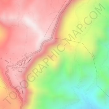
Name: Sumera topographic map, elevation, terrain.

Location: Sumera, Quinchía, Vertiente Occidental, Risaralda, Colombia (5.31046 -75.78845 5.33046 -75.76845)

Average elevation: 1,925 m

Minimum elevation: 1,491 m

Maximum elevation: 2,215 m

Gear up for your next adventure:

🛶Canoe Life Vest - Safety vest for water sports
👟Trail Running Shoes - Agile footwear for fast-paced topographic exploration
🥾Mountaineering Boots - Supportive boots for climbing and high-altitude hiking
🧊Insulated Water Bottle - Keeps drinks cold in summer and prevents freezing in winter
🦶Anti-Blister Balm - Prevents friction and hotspots during long ascents

As an Amazon Associate, this site earns from qualifying purchases at no extra cost to you.