Geolocate

McArthur topographic map

Click on the map to display elevation.

About this map

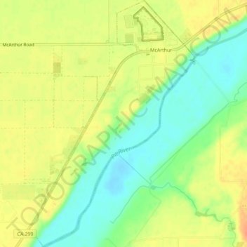
Name: McArthur topographic map, elevation, terrain.

Location: McArthur, Shasta County, California, 96056, United States (41.02435 -121.42207 41.05666 -121.39328)

Average elevation: 1,004 m

Minimum elevation: 983 m

Maximum elevation: 1,022 m

Gear up for your next adventure:

🛏️Camping Sleeping Mat - Comfortable mats for sleeping outdoors
🧢Sun Protection Cap - Breathable cap to protect from sun exposure
🥾Waterproof Hiking Boots - Essential footwear for rugged terrain and wet Canadian trails
🥾Trail Hiking Boots - Supportive boots for rough trails
💧Filtered Water Bottle - Safe drinking water on the go

As an Amazon Associate, this site earns from qualifying purchases at no extra cost to you.