Geolocate

Alphen aan den Rijn topographic map

Click on the map to display elevation.

About this map

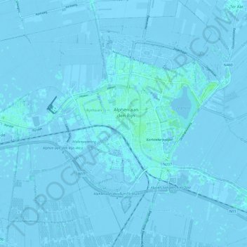
Name: Alphen aan den Rijn topographic map, elevation, terrain.

Location: Alphen aan den Rijn, South Holland, Netherlands (52.09464 4.61792 52.16750 4.72452)

Average elevation: -1 m

Minimum elevation: -7 m

Maximum elevation: 8 m

Gear up for your next adventure:

🚲Heavy Duty Bike Lock - Secure your bike at the trailhead or during stops
🧥Softshell Hiking Jacket - The perfect balance of wind protection and breathability
🛁Quick-Dry Microfiber Towel - Space-saving towel that dries rapidly on the move
🧴Waterproofing Spray - Restore the DWR coating on jackets and tents
🧥Waterproof Pants - Keep dry during rainy hiking conditions

As an Amazon Associate, this site earns from qualifying purchases at no extra cost to you.