
New Germany topographic map
Click on the map to display elevation.
About this map
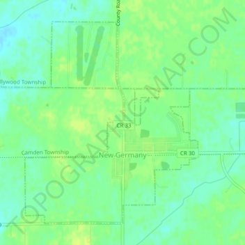
Name: New Germany topographic map, elevation, terrain.
Location: New Germany, Carver County, Minnesota, United States (44.87654 -93.98572 44.89142 -93.95882)
Average elevation: 299 m
Minimum elevation: 290 m
Maximum elevation: 305 m
Other topographic maps
Click on a map to view its topography, its elevation and its terrain.
Barnes Lake
United States > Minnesota > Carver County > Norwood Young America
Average elevation: 300 m