Geolocate

Spring City topographic map

Click on the map to display elevation.

About this map

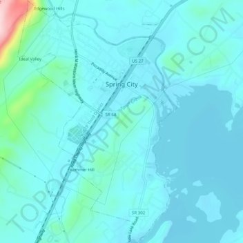
Name: Spring City topographic map, elevation, terrain.

Location: Spring City, Rhea County, Tennessee, United States (35.66568 -84.88197 35.70582 -84.84952)

Average elevation: 252 m

Minimum elevation: 223 m

Maximum elevation: 484 m

Gear up for your next adventure:

🛰️Satellite Messenger - Emergency communication for areas with no cell service
💡Solar Camping Lamp - Eco-friendly lighting for campsites
🧊Portable Cooler - Keep food and drinks cold during outdoor adventures
🧣Evaporative Cooling Towel - Beat the heat during intense summer climbs
🥾Light Trekking Boots - Supportive boots for multi-day treks

As an Amazon Associate, this site earns from qualifying purchases at no extra cost to you.