Geolocate

Commons Park topographic map

Click on the map to display elevation.

About this map

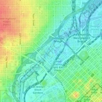
Name: Commons Park topographic map, elevation, terrain.

Location: Commons Park, Riverfront, Denver, Colorado, United States (39.75462 -105.00752 39.75986 -105.00293)

Average elevation: 1,594 m

Minimum elevation: 1,573 m

Maximum elevation: 1,634 m

Gear up for your next adventure:

🧥Softshell Hiking Jacket - The perfect balance of wind protection and breathability
🔋Emergency Crank Radio - Weather alerts and power without needing batteries
🧦Hiking Socks - Moisture-wicking and comfortable socks for long hikes
🧣Evaporative Cooling Towel - Beat the heat during intense summer climbs
🦶Anti-Blister Balm - Prevents friction and hotspots during long ascents

As an Amazon Associate, this site earns from qualifying purchases at no extra cost to you.