
Sint-Pieter topographic map
Interactive map
Click on the map to display elevation.
About this map
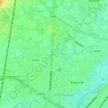
Name: Sint-Pieter topographic map, elevation, terrain.
Location: Sint-Pieter, Kuurne, Kortrijk, West-Vlaanderen, 8520, België (50.84219 3.25200 50.88219 3.29200)
Average elevation: 17 m
Minimum elevation: 7 m
Maximum elevation: 37 m
Other topographic maps
Click on a map to view its topography, its elevation and its terrain.
Kuurne
België > West-Vlaanderen > Kortrijk > Kuurne
Kuurne, Kortrijk, West-Vlaanderen, Vlaanderen, 8520, België
Average elevation: 17 m